Even though Malaysia sits outside the Pacific Ring of Fire, that doesn’t mean we’re entirely free from the risk of earthquakes
A number of smaller tremors have still been felt across parts of the country over the past few decades, and one of the worst was the quake that struck Sabah.
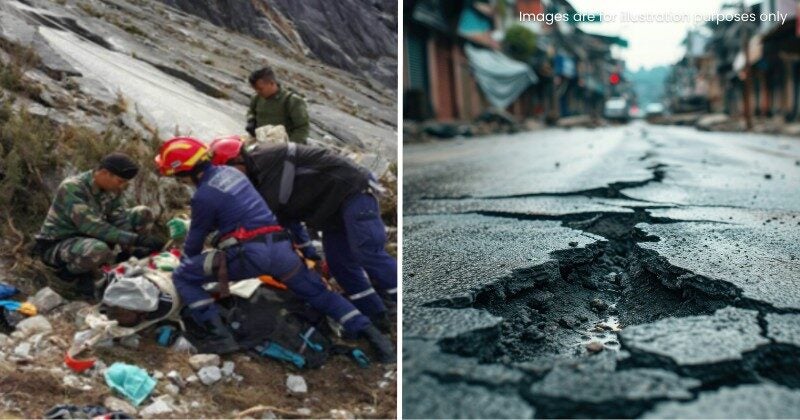
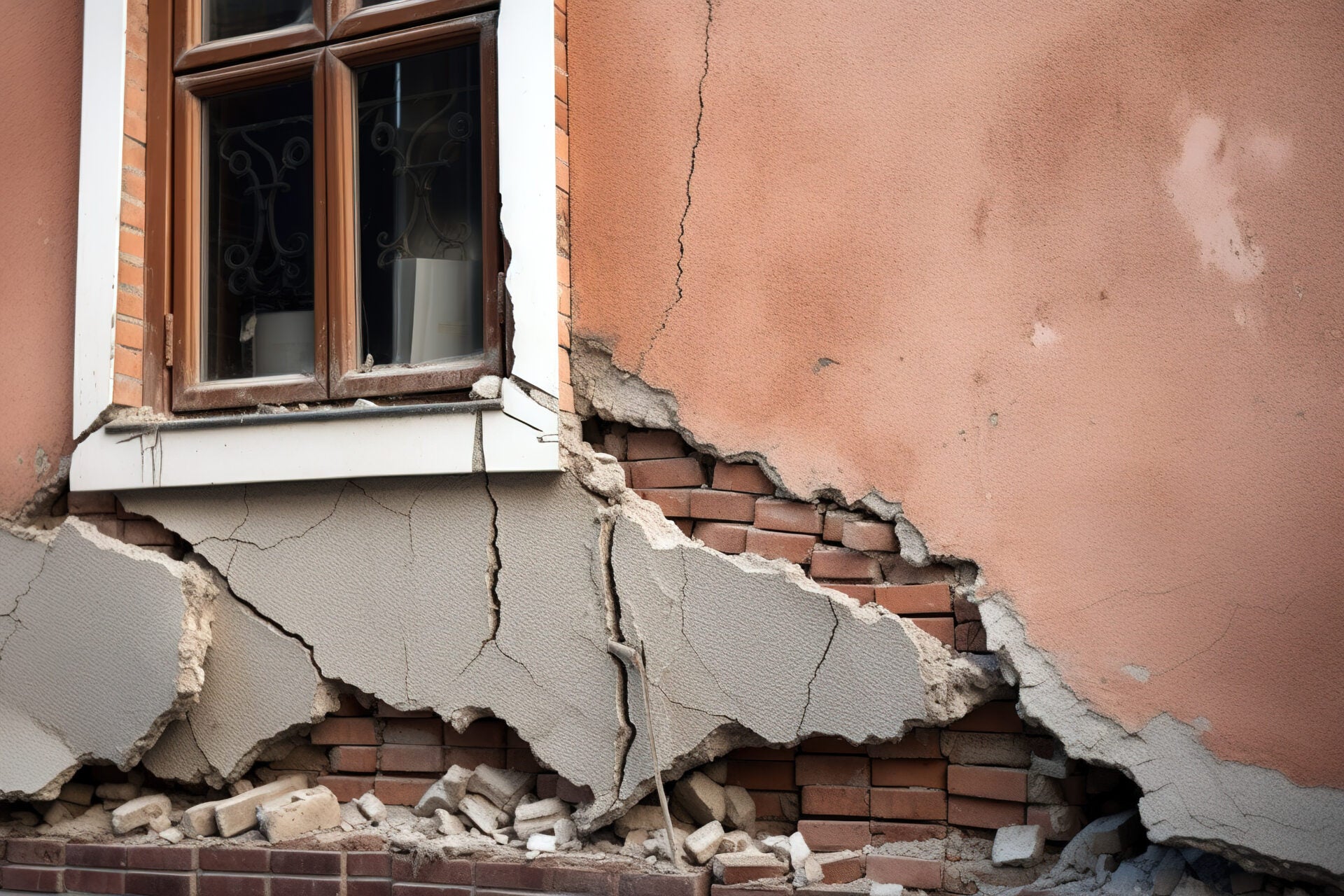
For illustration purposes only
Here’s what you should know:
1. The timeline of Malaysia’s worst earthquake
According to BERNAMA, Sabah has been hit by strong quakes in the past, measuring between 6.0 and 6.3 on the Richter scale, with major ones recorded in 1923, 1958, 1976, and 2015.
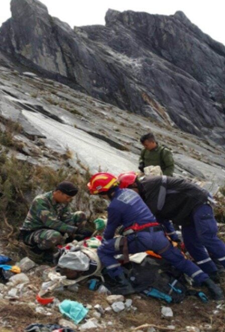
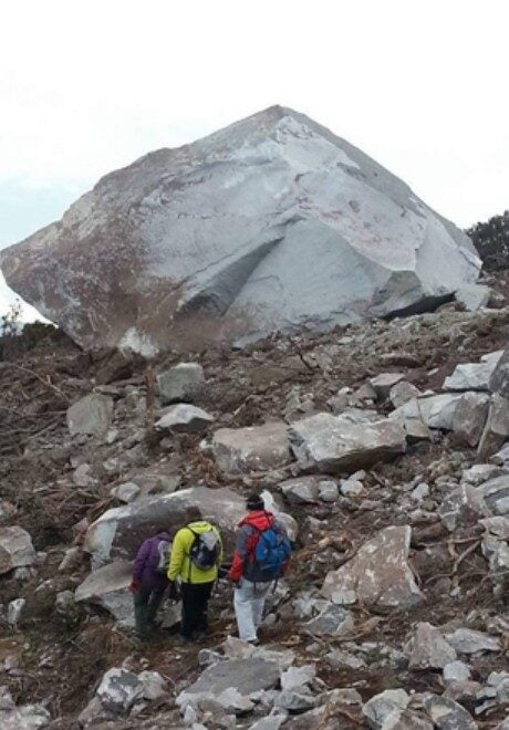
A 6. 0-magnitude earthquake in gunung kinabalu back in 2015
2. What’s behind these quakes?
Back in 2023, the ministry pointed out that strong evidence shows that earthquakes in Malaysia can come from both nearby and faraway sources.
In Peninsular Malaysia, the tremors usually come from the subduction zone where the India-Australia Plate meets the Eurasian Plate. Over in Sabah and Sarawak, they’re linked to the subduction zone between the Philippine Plate and the Eurasian Plate.
“These zones are part of the Pacific Ring of Fire, and major quakes from these plates can sometimes be felt along the west coast of Peninsular Malaysia and in Sabah,” the ministry said.
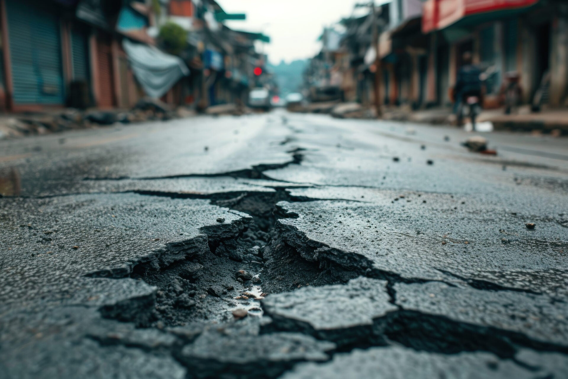
For illustration purposes only
3. Areas hit by the quakes
In Sarawak, the strongest tremor ever recorded was in 1996, hitting 5.3 on the Richter scale. Peninsular Malaysia has also felt its share of smaller quakes over the years, with epicentres in Bukit Tinggi (Pahang), Kenyir Dam (Terengganu), Kuala Pilah (Negeri Sembilan), plus Manjung and Temenggor (Perak).
These quakes, ranging between 1.6 and 4.6 in magnitude, were reported in 1984, 1985, 1987, 2007, 2009, 2010, and 2013.
4. How Malaysia is handling it
To help reduce risks in the long run, the Department of Minerals and Geoscience (JMG) has been working with local authorities and stakeholders on how to apply seismic hazard maps, NRECC said.
The ministry added that awareness programs are also being carried out with state governments, schools, and local communities in areas that could face earthquake threats.
They also recommended that seismic hazard maps be used as a reference when designing buildings in Malaysia.
5. How is Malaysia monitoring it?
To keep track of active faults that might trigger earthquakes, NRECC said JMG has set up six active Earthquake Benchmark Stations (PAG) in Sabah, along with 54 passive ones across six states, all of which are monitored in real time:
- 29 in Sabah
- 13 in Pahang
- 6 n Selangor
- 2 each in Perak, Negeri Sembilan, and Sarawak
Back in 2019, JMG also released Seismic Hazard Maps for Peninsular Malaysia, Sabah, and Sarawak. These maps outline quake risk zones based on Peak Ground Acceleration (PGA) and are used as a guide for designing earthquake-resistant buildings.
What do you think of this? Let us know down in the comments!
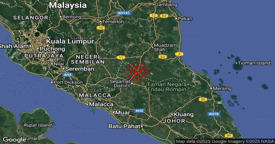
Also read: Segamat Hit by Earthquake for the 5th Time in Just 5 Days, Tremors Also Felt in Other Areas in Johor