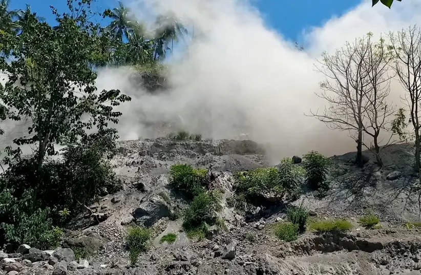
Just a week after the Mount Semeru volcano erupted, Indonesia is yet again, faced with another natural disaster.
According to Reuters, a powerful 7.4 magnitude earthquake has just struck eastern Indonesia and triggered a tsunami warning.
However, the country’s meteorological department has said that there is currently no immediate word on any casualties or damage.
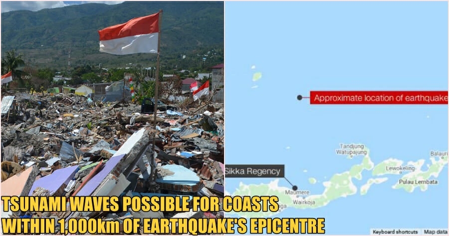
The quake reportedly occurred this morning (14 December) at 10:20am in the Flores Sea, about 112km northwest of the town of Larantuka, in the eastern part of Flores island, at a depth of 12km.

Tsunami warnings were issued for the areas of Maluku, East Nusa Tenggara, West Nusa Tenggara and Southeast and South Sulawesi.
Alfons Hada Betan, head of East Flores Disaster Mitigation agency in Larantuka said there were no immediate reports of damage and the quake was felt for several minutes as people fled from their homes.
People said on social media that the earthquake was also felt strongly in Makassar, South Sulawesi.
The head of Indonesia’s Meteorological, Climatological, and Geophysical Agency (BMKG) Dwikorita Karnawati later on confirmed that the tsunami warning had ended.

She said that 15 aftershocks have been reported so far, the strongest of which was 5.6 magnitude.
“Those living on the northern coastline should move to a higher place if they feel a strong tremor lasting more than 10 seconds.”
Meanwhile according to the U.S-based Pacific Tsunami Warning Center, based on preliminary earthquake parameters, hazardous tsunami waves were possible for coasts located within 1,000km of the earthquake’s epicentre.

The country sits on the “Ring of Fire” which is a band around the Pacific Ocean that sets off frequent earthquakes and volcanic activity and is one of the most seismically active zones on the planet.
In December 1992, a 7.8 magnitude earthquake and tsunami hit Flores Island, killing more than 2,000 people.
Also read: Indonesia’s Mount Semeru Volcano Erupts Once Again! Rescue Efforts Unable to Continue


