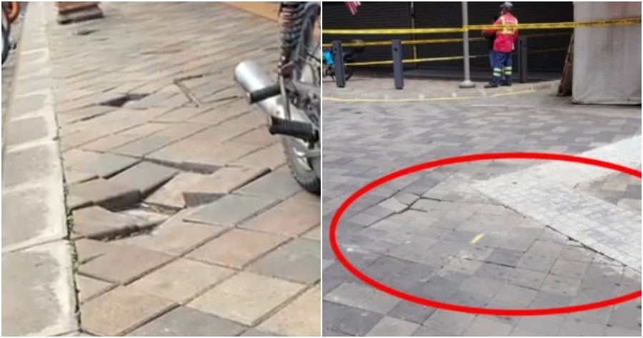
Recently, a sinkhole incident made headlines when a woman fell into one, leading DBKL to address several sunken roads in Masjid India.
As the search for the woman continues, one user took to Facebook to share a journal from 2017 discussing sinkhole risks in various areas of Ampang and Kuala Lumpur.
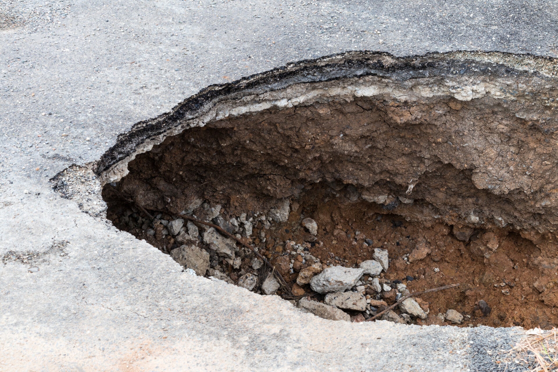
For illustration purposes only
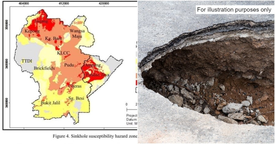
Ampang is an extremely high-risk location
The study found that the rising number of sinkholes is becoming a serious threat to people, property, and buildings, especially in Kuala Lumpur.
To address this, a Sinkhole Hazard Model (SHM) was created using a GIS framework and the Analytical Hierarchical Process (AHP) to make a sinkhole susceptibility map for the area.
For illustration purposes only
TTDI has the lowest risk
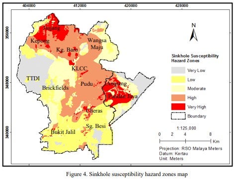
The resulting maps for sinkhole susceptibility hazard zones data have been classified into 5 prone levels: very low, low, moderate, high and very high risk.
Based on the map shown, the Ampang area has relatively high and very high hazard falls at the centre and western part of the district.
The study also found that KLCC and Pudu areas are also at a high risk for sinkholes. This is due to the presence of limestone, marble, and acidic rocks, which are more prone to sinkholes.
Meanwhile, TTDI is in the safe zone with the lowest risk.
Sinkholes are risky and tough to predict
The analysis involves defining the problem and significance of the research within DBKL and MPAJ’s areas, classifying data from primary and secondary sources, applying weightage and software analysis to achieve the research objectives, and generating a sinkhole hazard model to map susceptible locations.
Sinkholes have become a bigger problem in Kuala Lumpur and Ampang since 1968. While we can’t stop them completely, they can be managed better.
By predicting and mapping out areas prone to sinkholes before starting any construction, the damage they cause can be reduced.
What are your thoughts on this? Let us know down in the comments!
Also read: “DBKL took action but the problems persist” – Sunken Roads Spotted in Masjid India Near the Sinkhole
