

The Malaysian Meteorological Department (MET Malaysia) has issued an advisory on a tropical depression detected at Latitude 5.1° North and Longitude 98.5° East.
It is expected to move towards the West Northwest at a speed of 10 km/h and may reach maximum wind speeds of up to 56 km/h starting from 2 PM today (26 November).
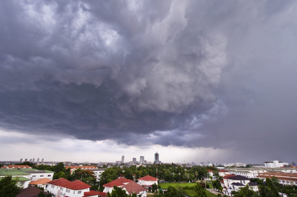
This image is for illustration purposes only.
MET Malaysia has issued an advisory on a tropical depression detected near Georgetown
Based on MET Malaysia’s Facebook post, the closest position in Malaysia to the tropical depression is approximately 202km Southwest of Georgetown, Penang.
“This condition is expected to cause continuous heavy rain, strong winds and rough seas in the northern states of Peninsular Malaysia.”
What is a tropical depression?
According to Polygon Climate Solutions, the first stage of a tropical weather event is called a tropical depression.
Tropical depressions are cyclones with winds that gust at 61 km/h (33 knots) or less. While cyclones aren’t as strong as tropical storms or hurricanes, they can bring significant amounts of rain, thunderstorms and devastating floods.
NASA, on the other hand, explained that a tropical depression forms when a low-pressure area is accompanied by thunderstorms that produce a circular wind flow with maximum sustained winds below 62 km/h.
What do you think about this? Do feel free to share your thoughts in the comment section.
Also read: Bomba to the Rescue! SPM Students Stranded by Kelantan Floods Transported to Exam Hall Just in Time